
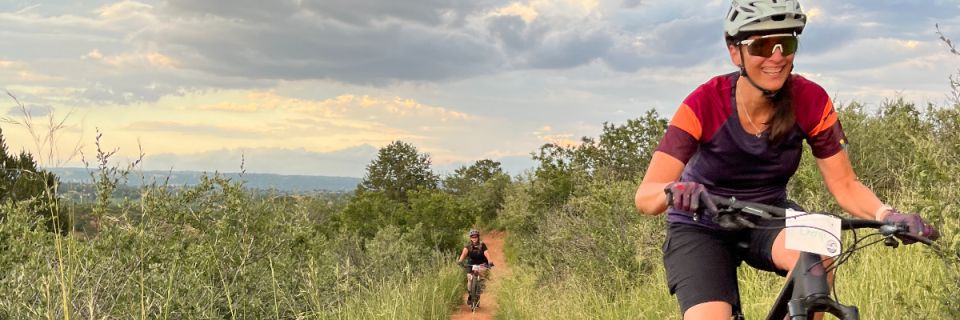

Aug 27 - All groups @ Red Rocks (different meeting point for Adv) - 5:30 pm start!
About this race
Location: Red Rock Open Space / Stephanies for Advanced
Parking for Intermediate groups: Meet in large main parking lot off of Hwy 24 and South Ridge Rd.
Parking for Advanced group: 26th street lot (turns into Bear Creek Road)
We want our group rides to be a place you can come to be with friends. We have a no drop policy, so we will not leave anyone behind. This late season ride starts at 5:30 pm and should be done by 7:30 p.m. Please check in by 5:15 to find your group.
If this event has to be cancelled for any reason, all participants will be emailed and we will post the notification on Facebook by 4:00 p.m.
Don't forget to bring:
- A mountain bike in reliable and safe condition
- A helmet
- Water, snacks, sunscreen
Pick your distance
Cycling
Beginner
Intermediate
InterVanced - will be combined with Advanced
Advanced - will be combined with InterVanced
Typical race-day weather
Based on 7 years of Open-Meteo archive data for this event's race dates in Colorado Springs, plus the 3 days either side.
The sun rises at 6:24 AM and sets at 7:37 PM local time (MDT) in Colorado Springs on August 27, 2026 — 13h 13m of daylight.
Course
No course map published yet.
The organizer hasn't released a route for this event, and we don't publish guesses. If you're the organizer, send us a GPX file and we'll draw the profile.
Reviews
Done this event?
If you've participated in this event, share your experience with other runners
Other races near Colorado Springs
Different organizers, within 40 miles, in the next three months

Fall Harvesr Kids Duathlon

Fleet Feet Colorado Springs Halloween Fun Run

Spooky Sprint - Colorado Springs

Colorado Springs Veterans Day 5k
Where this page comes from. Race details were last updated on . We re-check listings regularly and again in the week before race day.
- Entries, prices, waves and inclusions — the event's official registration page
- Temperature and humidity — Copernicus ERA5 reanalysis via Open-Meteo (CC BY 4.0)
- Elevation and terrain relief — Copernicus DEM GLO-90, ESA (CC BY 4.0)
- Comparisons and counts — Race Discovery calendar, 120 Colorado Springs events
Spotted something wrong? Tell us and we'll fix it.