
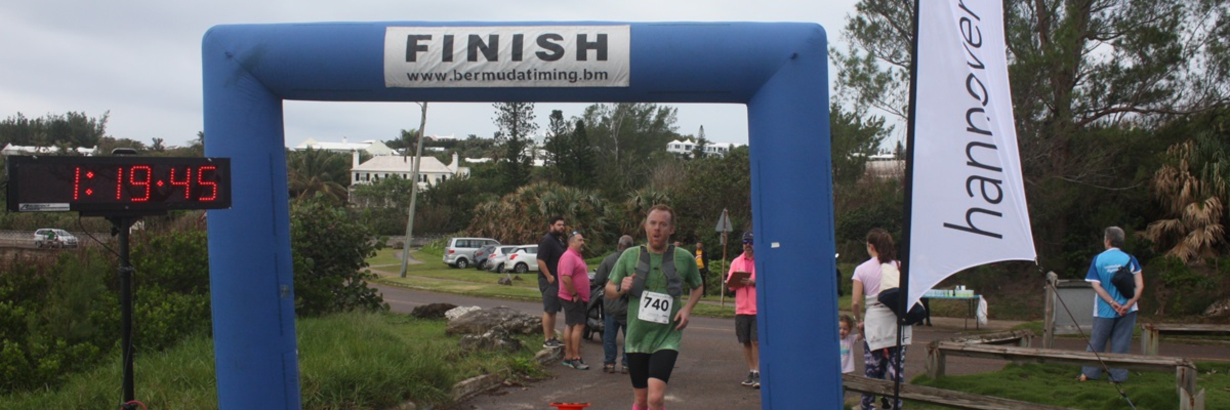

2014 - Hannover Re – Half Marathon
2014 distances
Running
10K Run
10K ROUTE: The course is as follows - Leave Camden Road starting in line with Happy Talk Lane. Head west to Trimmingham Hill round-a-bout going into town. Enter Crow Lane round-a-bout staying in the right lane until you reach the lay-by adjacent to B.U.E.I., through the lay-by onto the left lane heading
1/2 Marathon Run
HALF MARATHON ROUTE: The course is as follows - Leave Camden Road, starting in line with Happy Talk Lane. Head west to Trimmingham Hill round-a-bout going into town. Enter Crow Lane round-a-bout staying in the right lane until you reach the lay-by adjacent to B.U.E.I., through the lay-by onto the left lane heading out of town. Upon reaching Crow Lane, take a left onto Point Finger Road - along Point Finger Road to South Shore junction. Left on South Shore Road, follow the main road into Tucker's Town. Left onto Paynter's Road - continues until the end of Paynter's Road-a-bout turn heading back to the Camden grounds to the finish line.
Race-day daylight
We have no recorded weather for Smiths Parish yet, but sunrise and sunset follow from the venue and the date.
The sun rises at 6:49 AM and sets at 5:18 PM local time (AST) in Smiths Parish on November 16, 2014 — 10h 29m of daylight.
Course
No course map published yet.
The organizer hasn't released a route for this event, and we don't publish guesses. If you're the organizer, send us a GPX file and we'll draw the profile.
Reviews
Done this event?
If you've participated in this event, share your experience with other runners
Where this page comes from. Race details were last updated on . We re-check listings regularly and again in the week before race day.
- Entries, prices, waves and inclusions — the event's official registration page
- Temperature and humidity — Copernicus ERA5 reanalysis via Open-Meteo (CC BY 4.0)
- Elevation and terrain relief — Copernicus DEM GLO-90, ESA (CC BY 4.0)
Spotted something wrong? Tell us and we'll fix it.