
Mt. Taylor Winter Quadrathlon
About this race
THE WINTER QUADRATHLON
Challenge: To Confront Or Boldly Defy.
The Mt. Taylor Winter Quadrathlon is challenging.
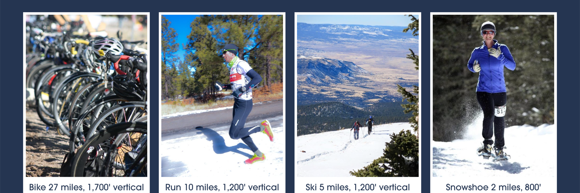
This epic race begins in Grants, N.M., with a 13-mile bike ride meandering through town, then away buildings to sights of high desert cacti and ponderosa pines, continuing to the end of the pavement on Mt.Taylor, an 1,800 ft. climb.
Then, the race continues on foot with a 5-mile run on a gravel path that gives way to packed snow, while rising 1,200 ft. in elevation.
The next 1,200 ft. climb is tackled on skis, during a 2-mile portion of the race that includes Heartbreak Hill, a barren and exposed part of the mountain, which comes at the end of this leg - making it that much more intense.
The 11,301 ft. summit of Mt. Taylor is finally reached via snowshoe, after gaining 600 ft in elevation over a mile. There, competitors will come upon a vast and majestic view, where you can see for over 100 miles on a clear day, before turning around and snowshoeing, skiing, running, and cycling back to town.
At the completion of the Ultimate Challenge, you will have conquered 4,900 ft of elevation gain, and 43 miles and some change in exhilarating and agonizing bliss.
Please see our website for a full description of the race and our race rules. www.mttaylorquad.org
Pick your distance
Running
44th Annual "2027" Mt. Taylor Winter Quadrathlon
Typical race-day weather
Based on 6 years of Open-Meteo archive data for this event's race dates in Grants, plus the 3 days either side.
The sun rises at 6:59 AM and sets at 5:51 PM local time (MST) in Grants on February 13, 2027 — 10h 52m of daylight.
Course
No course map published yet.
The organizer hasn't released a route for this event, and we don't publish guesses. If you're the organizer, send us a GPX file and we'll draw the profile.
Reviews
Done this event?
If you've participated in this event, share your experience with other runners
Results — Mt. Taylor Winter Quadrathlon
Where this page comes from. Race details were last updated on . We re-check listings regularly and again in the week before race day.
- Entries, prices, waves and inclusions — the event's official registration page
- Temperature and humidity — Copernicus ERA5 reanalysis via Open-Meteo (CC BY 4.0)
- Elevation and terrain relief — Copernicus DEM GLO-90, ESA (CC BY 4.0)
- Comparisons and counts — Race Discovery calendar, 1 Grants event
Spotted something wrong? Tell us and we'll fix it.