
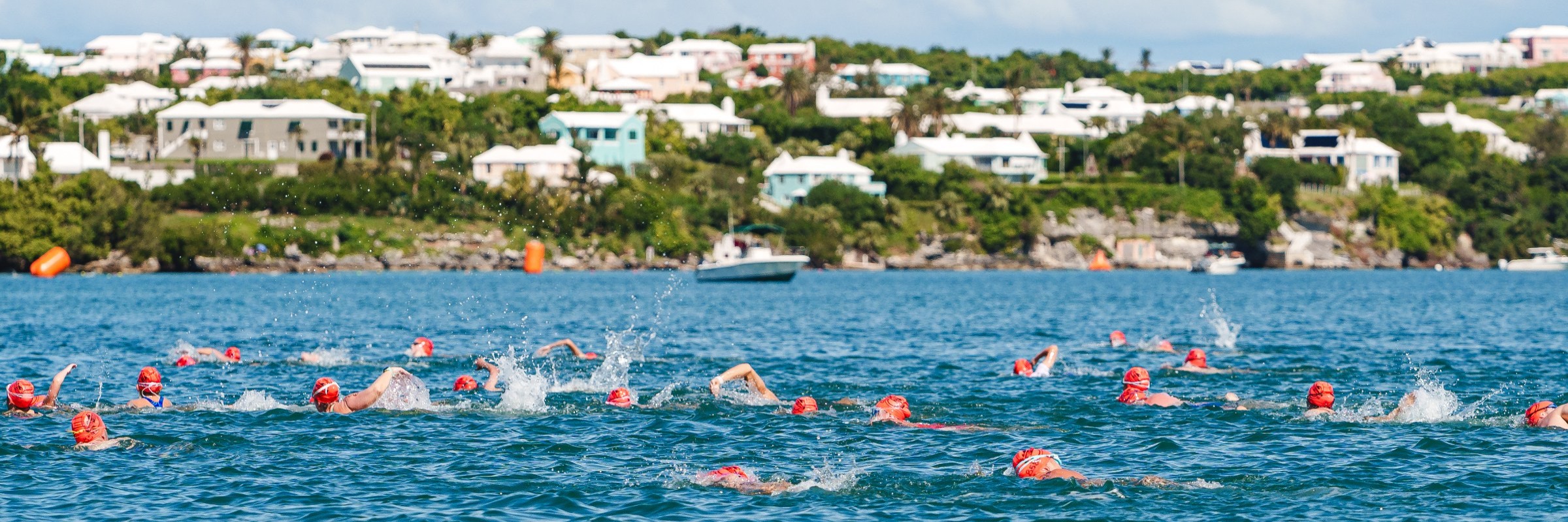
2014 - Round the Sound Swim
2014 distances
Swimming
Swim Distance 0.8KM (0.5 Miles) **Start Harrington Sound Dock**
Swim Distance 2.0KM (1.25 Miles) **Start Turtle Island Dock**
Swimmers who fail to reach a checkpoint by official closing time may be removed from the water by an official safety boat. Turtle Island Dock - 2:25pm
Finn Swim Distance 2.0KM (1.25 Miles) **Start Turtle Island Dock**
Swimmers who fail to reach a checkpoint by official closing time may be removed from the water by an official safety boat. Turtle Island Dock - 2:25pm
Swim Distance 4.0KM (2.50 Miles) **Start Bermuda Properties Dock Shark Hole**
Swimmers who fail to reach a checkpoint by official closing time may be removed from the water by an official safety boat. Bermuda Properties Dock (Shark Hole) - 1:15pm
Swim Distance 7.25KM (4.50 Miles) **Start My Lords Bay Dock**
Swimmers who fail to reach a checkpoint by official closing time may be removed from the water by an official safety boat. Radnor Road Estate Dock - 11:20PM
Finn Swim Distance 7.25KM (4.50 Miles) **Start My Lords Bay Dock**
Swimmers who fail to reach a checkpoint by official closing time may be removed from the water by an official safety boat. Radnor Road Estate Dock - 11:20PM
Swim Distance 10.00KM (6.10 Miles) **Start Aquarium (East Service Entrance)**
Race-day weather
Conditions on October 12, 2014 — historical Open-Meteo data.
The sun rises at 7:20 AM and sets at 6:50 PM local time (ADT) in Flatts on October 12, 2014 — 11h 29m of daylight.
Course
No course map published yet.
The organizer hasn't released a route for this event, and we don't publish guesses. If you're the organizer, send us a GPX file and we'll draw the profile.
Reviews
Done this event?
If you've participated in this event, share your experience with other runners
Where this page comes from. Race details were last updated on . We re-check listings regularly and again in the week before race day.
- Entries, prices, waves and inclusions — the event's official registration page
- Temperature and humidity — Copernicus ERA5 reanalysis via Open-Meteo (CC BY 4.0)
- Elevation and terrain relief — Copernicus DEM GLO-90, ESA (CC BY 4.0)
Spotted something wrong? Tell us and we'll fix it.