

2026 - Shorefire Trail Races
2026 distances
Trail running
Shorefire 25K
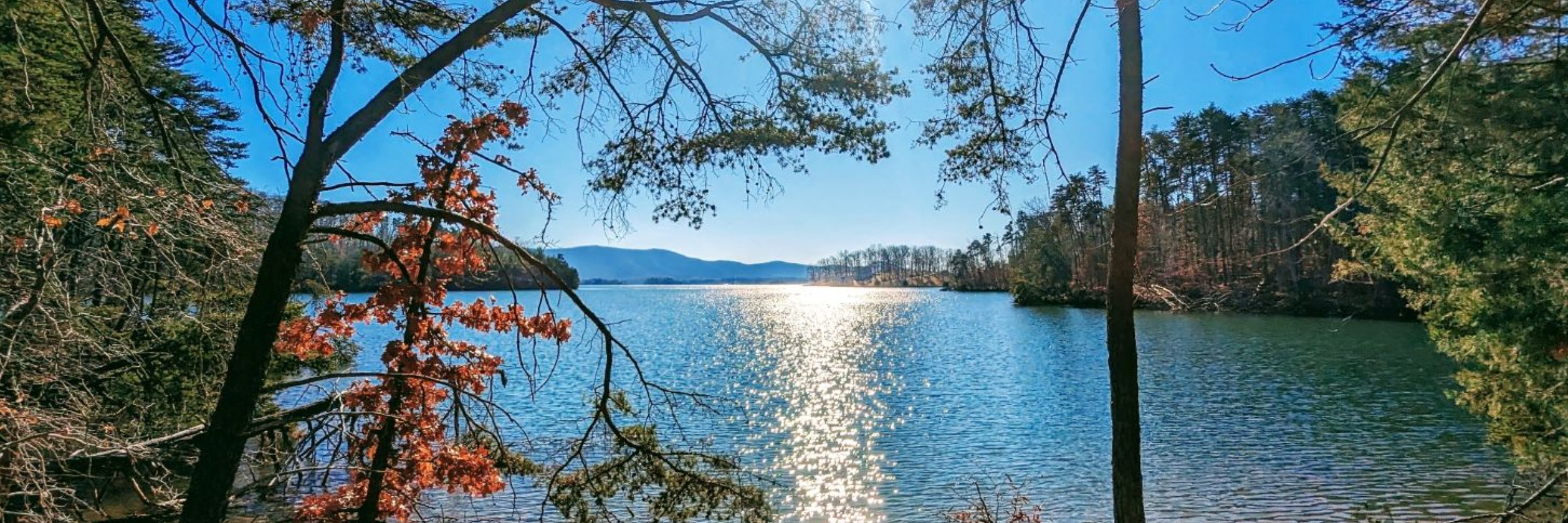
The 25K starts and finishes at the Beach Pavilion. The first 0.2 miles heads up the main parking lot and along the road, giving runners room to spread out before turning right at the Playground parking lot and settling into a flat, runnable section of trail. Overall, the 25K is fast and mostly nontechnical, with just over 1800 feet of elevation gain across rolling hills. The biggest challenge may not be the terrain—it’s resisting distraction from the lake views along the way. As a general rule of thumb, most (though not all) turns are right turns, and runners will spend much of the course with Smith Mountain Lake on their right-hand side. Because the park has an extensive trail network with multiple connectors, the course includes several turns and a few lollipop sections. The route will be clearly marked with blue flagging and directional arrows, and an official GPX file will be available for runners who prefer to follow the course on a GPS watch: https://www.mapmyrun.com/routes/view/6673167949 Note: Elevation gain shown on some platforms may appear lower due to GPS smoothing. Official course elevation gain is approximately 1,800 feet for the 25K and 700 feet for the 10K, based on barometric data from on-course recordings. Aid Stations Several aid stations will be placed along the 25K route. The first is an unmanned, water-only stop; all others will offer runner-friendly fuel including Tailwind, water, bananas, oranges, PB&J, chips, candy, and more. 25K Aid Stations Mile 3.5: Unmanned water stop Mile 4.85: Campfire Amphitheater (gorgeous lake views) Mile 10: Campground Mile 12: Five Oaks Trail loop Mile 15: Unmanned water stop
Shorefire 10K
The 10K also starts and finishes at the Beach Pavilion and includes about 700 feet of elevation gain. The first 0.2 miles heads up the main parking lot and along the road before turning left across from the Playground parking lot and dropping into Walton Creek Trail. This early section includes the only technical portion of the 10K, but it’s short-lived. Once runners reach the bottom of the hill, the course opens into flat, runnable doubletrack. The route passes behind the Visitor Center, connects to Five Oaks Trail, and then heads into a 3-mile lollipop loop before returning the same way and climbing back up Walton Creek Trail to the finish. The 10K course will be marked with pink flagging and directional arrows, and a GPX file will be available for GPS users. Note: Elevation gain shown on some platforms may appear lower due to GPS smoothing. Official course elevation gain is approximately 1,800 feet for the 25K and 700 feet for the 10K, based on barometric data from on-course recordings. 10K Aid Stations Mile 2.75: Five Oaks Trail aid station Mile 1.5 and 5: Unmanned water stop where Walton Creek Trail meets the Visitor Center parking lot
Race-day weather
Conditions on October 18, 2026 — historical Open-Meteo data.
The sun rises at 7:28 AM and sets at 6:37 PM local time (EDT) in Huddleston on October 18, 2026 — 11h 08m of daylight.
Course
No course map published yet.
The organizer hasn't released a route for this event, and we don't publish guesses. If you're the organizer, send us a GPX file and we'll draw the profile.
Reviews
Done this event?
If you've participated in this event, share your experience with other runners
2026 results — Shorefire Trail Races
77 finishers across 2 distances · leading places in the Shorefire 25K
| Place | Name | Time | Pace |
|---|---|---|---|
| 1 | Kathryn Van Orden | 2:06:20 | 7:57 /mi |
| 2 | Sam Shiver | 2:18:01 | 8:41 /mi |
| 3 | Jennifer Baker | 2:22:58 | 8:59 /mi |
| 4 | Darin De Lannoy | 2:23:02 | 9:00 /mi |
| 5 | J. L. | 2:27:56 | 9:18 /mi |
Every finisher is on the results page, filterable by distance, gender and age group.
Other races near Huddleston
Different organizers, within 40 miles, in the next three months

Frostbite

SML Turkey Trot

Wine 4 Wildlife 4-Miler

Red Nose 5K and 1 Mile Light Walk
Where this page comes from. Race details were last updated on . We re-check listings regularly and again in the week before race day.
- Entries, prices, waves and inclusions — the event's official registration page
- Temperature and humidity — Copernicus ERA5 reanalysis via Open-Meteo (CC BY 4.0)
- Elevation and terrain relief — Copernicus DEM GLO-90, ESA (CC BY 4.0)
- Comparisons and counts — Race Discovery calendar, 8 Huddleston events
Spotted something wrong? Tell us and we'll fix it.