
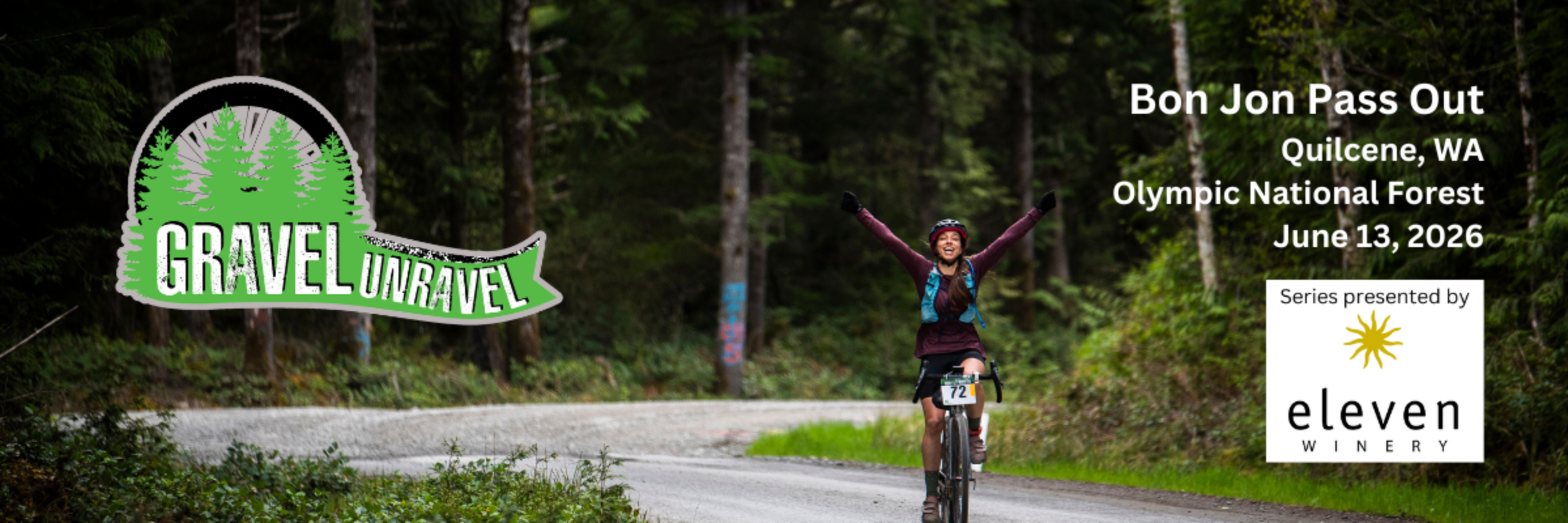

2025 - Gravel Unravel - Bon Jon Pass Out
2025 distances
Gravel biking
Short Course - Open
This course has approximately 4,000 feet cumulative elevation gain and is 50% gravel, with the rest paved or “rustic” paved. Course map, elevation profile, description, GPS download: https://ridewithgps.com/routes/31776039 There will be hydration/snack stations and portable toilets at approximate miles 11 and 22.
Medium Course - Open
This course has approximately 6,000 feet cumulative elevation gain and is 60% gravel, with the rest pave or “rustic” paved. Course map, elevation profile, description, GPS download: https://ridewithgps.com/routes/31776043 There will be hydration/snack stations and portable toilets at approximate miles 11, 22, 33, and 45.
Long Course - Open
This course is approximately 9,000 feet cumulative elevation gain is 70% gravel, with the rest paved or “rustic” paved. Course map, elevation profile, description, GPS download: https://ridewithgps.com/routes/31776041 There will be hydration/snack stations and portable toilet at approximate miles 11, 22, 33, 45, 55, and 70.
Short Course - Open Masters (45+)
This course has approximately 4,000 feet cumulative elevation gain and is 50% gravel, with the rest paved or “rustic” paved. Course map, elevation profile, description, GPS download: https://ridewithgps.com/routes/31776039 There will be hydration/snack stations and portable toilets at approximate miles 11 and 22.
Short Course - Womens
This course has approximately 4,000 feet cumulative elevation gain and is 50% gravel, with the rest paved or “rustic” paved. Course map, elevation profile, description, GPS download: https://ridewithgps.com/routes/31776039 There will be hydration/snack stations and portable toilets at approximate miles 11 and 22.
Short Course - Womens Masters (45+)
This course has approximately 4,000 feet cumulative elevation gain and is 50% gravel, with the rest paved or “rustic” paved. Course map, elevation profile, description, GPS download: https://ridewithgps.com/routes/31776039 There will be hydration/snack stations and portable toilets at approximate miles 11 and 22.
Short Course - Non Binary
This course has approximately 4,000 feet cumulative elevation gain and is 50% gravel, with the rest paved or “rustic” paved. Course map, elevation profile, description, GPS download: https://ridewithgps.com/routes/31776039 There will be hydration/snack stations and portable toilets at approximate miles 11 and 22.
Short Course - Single Speed
This course has approximately 4,000 feet cumulative elevation gain and is 50% gravel, with the rest paved or “rustic” paved. Course map, elevation profile, description, GPS download: https://ridewithgps.com/routes/31776039 There will be hydration/snack stations and portable toilets at approximate miles 11 and 22.
Short Course - Juniors (under 18)
This course has approximately 4,000 feet cumulative elevation gain and is 50% gravel, with the rest paved or “rustic” paved. Course map, elevation profile, description, GPS download: https://ridewithgps.com/routes/31776039 There will be hydration/snack stations and portable toilets at approximate miles 11 and 22.
Short Course - Non Competitive Gran Fondo
This course has approximately 4,000 feet cumulative elevation gain and is 50% gravel, with the rest paved or “rustic” paved. Course map, elevation profile, description, GPS download: https://ridewithgps.com/routes/31776039 There will be hydration/snack stations and portable toilets at approximate miles 11 and 22.
Short Course - Non Competitive Gran Fondo E-Bike
This course has approximately 4,000 feet cumulative elevation gain and is 50% gravel, with the rest paved or “rustic” paved. Course map, elevation profile, description, GPS download: https://ridewithgps.com/routes/31776039 There will be hydration/snack stations and portable toilets at approximate miles 11 and 22.
Medium Course - Open Masters (45+)
This course has approximately 6,000 feet cumulative elevation gain and is 60% gravel, with the rest pave or “rustic” paved. Course map, elevation profile, description, GPS download: https://ridewithgps.com/routes/31776043 There will be hydration/snack stations and portable toilets at approximate miles 11, 22, 33, and 45.
Medium Course - Womens
This course has approximately 6,000 feet cumulative elevation gain and is 60% gravel, with the rest pave or “rustic” paved. Course map, elevation profile, description, GPS download: https://ridewithgps.com/routes/31776043 There will be hydration/snack stations and portable toilets at approximate miles 11, 22, 33, and 45.
Medium Course - Womens Masters (45+)
This course has approximately 6,000 feet cumulative elevation gain and is 60% gravel, with the rest pave or “rustic” paved. Course map, elevation profile, description, GPS download: https://ridewithgps.com/routes/31776043 There will be hydration/snack stations and portable toilets at approximate miles 11, 22, 33, and 45.
Medium Course - Non Binary
This course has approximately 6,000 feet cumulative elevation gain and is 60% gravel, with the rest pave or “rustic” paved. Course map, elevation profile, description, GPS download: https://ridewithgps.com/routes/31776043 There will be hydration/snack stations and portable toilets at approximate miles 11, 22, 33, and 45.
Medium Course - Single Speed
This course has approximately 6,000 feet cumulative elevation gain and is 60% gravel, with the rest pave or “rustic” paved. Course map, elevation profile, description, GPS download: https://ridewithgps.com/routes/31776043 There will be hydration/snack stations and portable toilets at approximate miles 11, 22, 33, and 45.
Medium Course - Juniors (under 18)
This course has approximately 6,000 feet cumulative elevation gain and is 60% gravel, with the rest pave or “rustic” paved. Course map, elevation profile, description, GPS download: https://ridewithgps.com/routes/31776043 There will be hydration/snack stations and portable toilets at approximate miles 11, 22, 33, and 45.
Medium Course - Non Competitive Gran Fondo
This course has approximately 6,000 feet cumulative elevation gain and is 60% gravel, with the rest pave or “rustic” paved. Course map, elevation profile, description, GPS download: https://ridewithgps.com/routes/31776043 There will be hydration/snack stations and portable toilets at approximate miles 11, 22, 33, and 45.
Medium Course - Non Competitive Gran Fondo E-Bike
This course has approximately 6,000 feet cumulative elevation gain and is 60% gravel, with the rest pave or “rustic” paved. Course map, elevation profile, description, GPS download: https://ridewithgps.com/routes/31776043 There will be hydration/snack stations and portable toilets at approximate miles 11, 22, 33, and 45.
Long Course - Open Masters (45+)
This course is approximately 9,000 feet cumulative elevation gain is 70% gravel, with the rest paved or “rustic” paved. Course map, elevation profile, description, GPS download: https://ridewithgps.com/routes/31776041 There will be hydration/snack stations and portable toilet at approximate miles 11, 22, 33, 45, 55, and 70.
Long Course - Womens
This course is approximately 9,000 feet cumulative elevation gain is 70% gravel, with the rest paved or “rustic” paved. Course map, elevation profile, description, GPS download: https://ridewithgps.com/routes/31776041 There will be hydration/snack stations and portable toilet at approximate miles 11, 22, 33, 45, 55, and 70.
Long Course - Womens Masters (45+)
This course is approximately 9,000 feet cumulative elevation gain is 70% gravel, with the rest paved or “rustic” paved. Course map, elevation profile, description, GPS download: https://ridewithgps.com/routes/31776041 There will be hydration/snack stations and portable toilet at approximate miles 11, 22, 33, 45, 55, and 70.
Long Course - Non Binary
This course is approximately 9,000 feet cumulative elevation gain is 70% gravel, with the rest paved or “rustic” paved. Course map, elevation profile, description, GPS download: https://ridewithgps.com/routes/31776041 There will be hydration/snack stations and portable toilet at approximate miles 11, 22, 33, 45, 55, and 70.
Long Course - Single Speed
This course is approximately 9,000 feet cumulative elevation gain is 70% gravel, with the rest paved or “rustic” paved. Course map, elevation profile, description, GPS download: https://ridewithgps.com/routes/31776041 There will be hydration/snack stations and portable toilet at approximate miles 11, 22, 33, 45, 55, and 70.
Long Course - Juniors (under 18)
This course is approximately 9,000 feet cumulative elevation gain is 70% gravel, with the rest paved or “rustic” paved. Course map, elevation profile, description, GPS download: https://ridewithgps.com/routes/31776041 There will be hydration/snack stations and portable toilet at approximate miles 11, 22, 33, 45, 55, and 70.
Short Course - Open Super Masters (60+)
This course has approximately 4,000 feet cumulative elevation gain and is 50% gravel, with the rest paved or “rustic” paved. Course map, elevation profile, description, GPS download: https://ridewithgps.com/routes/31776039 There will be hydration/snack stations and portable toilets at approximate miles 11 and 22.
Short Course - Womens Super Masters (60+
This course has approximately 4,000 feet cumulative elevation gain and is 50% gravel, with the rest paved or “rustic” paved. Course map, elevation profile, description, GPS download: https://ridewithgps.com/routes/31776039 There will be hydration/snack stations and portable toilets at approximate miles 11 and 22.
Medium Course - Open Super Masters (60+)
This course has approximately 6,000 feet cumulative elevation gain and is 60% gravel, with the rest pave or “rustic” paved. Course map, elevation profile, description, GPS download: https://ridewithgps.com/routes/31776043 There will be hydration/snack stations and portable toilets at approximate miles 11, 22, 33, and 45.
Medium Course - Womens Super Masters (60+)
This course has approximately 6,000 feet cumulative elevation gain and is 60% gravel, with the rest pave or “rustic” paved. Course map, elevation profile, description, GPS download: https://ridewithgps.com/routes/31776043 There will be hydration/snack stations and portable toilets at approximate miles 11, 22, 33, and 45.
Long Course - Open Super Masters (60+)
This course is approximately 9,000 feet cumulative elevation gain is 70% gravel, with the rest paved or “rustic” paved. Course map, elevation profile, description, GPS download: https://ridewithgps.com/routes/31776041 There will be hydration/snack stations and portable toilet at approximate miles 11, 22, 33, 45, 55, and 70.
Long Course - Womens Super Masters (60+)
This course is approximately 9,000 feet cumulative elevation gain is 70% gravel, with the rest paved or “rustic” paved. Course map, elevation profile, description, GPS download: https://ridewithgps.com/routes/31776041 There will be hydration/snack stations and portable toilet at approximate miles 11, 22, 33, 45, 55, and 70.
Race-day weather
Conditions on June 14, 2025 — historical Open-Meteo data.
The sun rises at 5:12 AM and sets at 9:11 PM local time (PDT) in Quilcene on June 14, 2025 — 15h 59m of daylight.
Course
No course map published yet.
The organizer hasn't released a route for this event, and we don't publish guesses. If you're the organizer, send us a GPX file and we'll draw the profile.
Reviews
Done this event?
If you've participated in this event, share your experience with other runners
2025 results — Gravel Unravel - Bon Jon Pass Out
194 finishers across 23 distances · leading places in the Short Course - Open
| Place | Name | Time | Pace |
|---|---|---|---|
| 1 | D Brewer | 2:31:27 | — |
| 2 | Mike VanOrden | 2:31:42 | — |
| 3 | Steve Ionescu | 2:58:50 | — |
| 4 | Neeraj Rajan | 3:12:16 | — |
| 5 | Andrew Zinkle | 3:12:32 | — |
Every finisher is on the results page, filterable by distance, gender and age group.
Other races near Quilcene
Different organizers, within 40 miles, in the next three months
Poulsbo Half Marathon & 10k

Silverdale Rotary Turkey Trot 2026

Jumping Mouse Turkey Trot

Jamestown Glow Run/Walk
Where this page comes from. Race details were last updated on . We re-check listings regularly and again in the week before race day.
- Entries, prices, waves and inclusions — the event's official registration page
- Temperature and humidity — Copernicus ERA5 reanalysis via Open-Meteo (CC BY 4.0)
- Elevation and terrain relief — Copernicus DEM GLO-90, ESA (CC BY 4.0)
- Comparisons and counts — Race Discovery calendar, 2 Quilcene events
Spotted something wrong? Tell us and we'll fix it.