
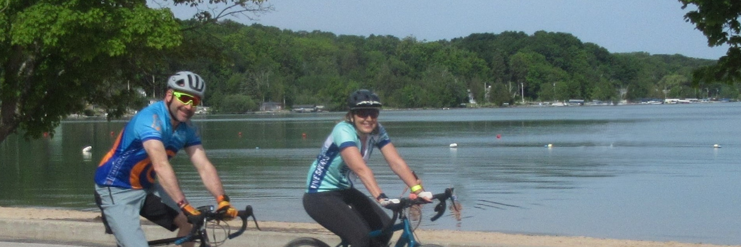
2024 - Bike Benzie Tour sponsored by Benzie Sunrise Rotary
2024 distances
Cycling
46-Mile Road Tour
46-mile riders should depart between 8:00 and 8:30. The 46-mile course travels on rolling hills west from Crystal Mountain and then north through orchards and farms. The Village of Elberta is the site for the first food stop at Penfold Park, 19 miles. The ride continues on the scenic Betsie Valley Trail which follows the Betsie River and then progresses along the shore of Crystal Lake. There is a 3-mile stretch that is crushed limestone where riders should use caution. The second food stop awaits in Beulah at the Betsie Valley Trailhead Building, 27 miles. From Beulah the route crosses US31 and gently climbs Narrow Gauge Road to Homestead Road. It then heads further east on Cinder Road and at the 37 miles turns south toward Thompsonville, where at 44 miles it intersects Lindy Road, taking cyclists west to Crystal Mountain. The route provides approximately 1,300 feet of gentle climb. Of course, enjoy the 1,300 feet of thrilling descent! Maps will be provided, and the course will be marked at critical turns; in addition, a GPS app “Ride with GPS”, will be available for download from the Bike Benzie website. The route will be patrolled by support vehicles in the event of an emergency or a need to return to Crystal Mountain. Please Note: Part of this route is on the Betsie Valley Trail. Only Class 1 pedal assist e-bikes are permitted. Also, 3-1/2 miles of the Trail are crushed limestone.
63-Mile Road Tour
63-mile riders should depart between 7:00 and 8:00am. The 63-mile course travels on rolling hills west from Crystal Mountain and then north through orchards and farms. The Village of Elberta is the site for the first food stop at Penfold Park, 19 miles. From there the route goes through Frankfort and continues north on scenic M22. This wide shoulder road is a popular cycling route which traverses along Crystal Lake and then eventually through the Sleeping Bear National Park. At 38 miles, the course turns east on Fowler Road and then shortly heads south on Indian Hill Road. The second food stop is located at 44 miles at the Platte River Park. From there you, will have your most challenging climb south on Marshall Road toward Homestead Road. Then cyclists will head east on Cinder Road and at 53 miles will cycle south to Thompsonville. At mile 60 will head west back to Crystal Mountain. The route has approximately 1900 feet of climb, and more importantly, 1900 feet of descent. Maps will be provided, and the course will be marked at critical turns; in addition, two GPS apps will be available for download on the website, 1) Ride with GPS, and 2) Strava. Also, the route will be patrolled by support vehicles in the event of an emergency or a need for a ride to Crystal Mountain. Please Note: Part of this route is on the Betsie Valley Trail. Only class 1 pedal assist E-bikes are permitted. Also, 3-1/2 miles of the Trail are crushed limestone.
28-Mile Road Tour
28-mile riders should depart between 8:30 and 9:00am. The 28-mile course will take you from Crystal Mountain Resort into Benzie County north through forest and farm areas. You will then travel west along Homestead Road to the village of Beulah where at 13.7 miles you will have your food stop at the Betsie Valley Trailhead building. After cycling past the Beulah beach, you will cross US31 and head up Narrow Guage Road to Marshall and Homestead Roads. After that, the route repeats going south on Pioneer Road back to Crystal Mountain Resort. Maps will be provided, and the course will be marked at critical turns; in addition, two GPS apps will be available for download from the website, 1) Ride with GPS, and 2) Strava. Also, the route will be patrolled by support vehicles in the event of an emergency or a need for a ride to Crystal Mountain.
Race-day weather
Conditions on June 1, 2024 — historical Open-Meteo data.
The sun rises at 6:01 AM and sets at 9:21 PM local time (EDT) in Thompsonville on June 1, 2024 — 15h 20m of daylight.
Course
No course map published yet.
The organizer hasn't released a route for this event, and we don't publish guesses. If you're the organizer, send us a GPX file and we'll draw the profile.
Reviews
Done this event?
If you've participated in this event, share your experience with other runners
Other races near Thompsonville
Different organizers, within 40 miles, in the next three months
Peak2Peak Mountain Bike Classic
Ruck the Mountain

Turkey Vulture Trot 5k & 1-Mile Fun Run

Lost Pines Lodge Dryland Race
Where this page comes from. Race details were last updated on . We re-check listings regularly and again in the week before race day.
- Entries, prices, waves and inclusions — the event's official registration page
- Temperature and humidity — Copernicus ERA5 reanalysis via Open-Meteo (CC BY 4.0)
- Elevation and terrain relief — Copernicus DEM GLO-90, ESA (CC BY 4.0)
- Comparisons and counts — Race Discovery calendar, 10 Thompsonville events
Spotted something wrong? Tell us and we'll fix it.